UN
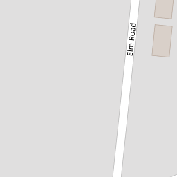
20 Elm Road
£ 191,000
Description
We don't have a Description for this property.
- Bedrooms
- 3
- Bathrooms
- 0

Leaflet © OpenStreetMap contributors
The heatmap indicates the level of crime in the area. The color of the heatmap indicates the crime severity and recency.
Metrics Year-on-Year
- Average area value
- 450,015.00 £Increased by 11.82 %
- Average area rental value
- 1,360.00 £/moDecreased by 3.41 %
- Est rental Yield
- 3.63 %Decreased by 13.57 %
- Crime Rate
- 4.00 %Unchanged by 0.00 %
from 402,439.00 £
from 1,408.00 £/mo
from 4.20 %
from 4.00 %
Nearby Schools
| Name | Type | Ofsted | Distance |
|---|---|---|---|
| St Patrick'S Catholic Primary School | Voluntary Aided School | Good | 0.49 KM |
| Crownfield Infant School | Community School | Good | 0.63 KM |
| Crownfield Junior School | Community School | Good | 0.63 KM |
| Collier Row Children'S Centre | Children's Centre | 0.99 KM | |
| Clockhouse Primary School | Community School | Good | 1.11 KM |
Images
Nearby Streets
| Name | Average Price | Average Sqft | Distance |
|---|---|---|---|
| Adams Close | £ 550,000 | 0 | 0.00 KM |
| Cook's Close | £ 425,000 | 0 | 0.00 KM |
| Pitcairn Close | £ 0 | 0 | 0.00 KM |
| Eastern Avenue West | £ 0 | 0 | 0.00 KM |
| The Drive | £ 531,250 | 0 | 0.00 KM |
Nearby Transport
| Name | NLC | TLC | Distance |
|---|---|---|---|
| Romford | 6886 | RMF | 3.11 KM |
| Chadwell Heath | 6874 | CTH | 4.51 KM |
| Gidea Park | 6877 | GDP | 5.06 KM |
| Goodmayes | 6878 | GMY | 6.35 KM |
| Emerson Park | 7473 | EMP | 7.01 KM |
Nearby Listings
| Address | Price | Type | Score | Distance |
|---|---|---|---|---|
| Elm Road, Romford, RM7 | £ 525,000 | BUY | Unknown | 0.10 KM |
| Cherrydown Walk, Romford, RM7 | £ 230,000 | BUY | 6 / 10 | 0.16 KM |
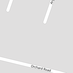
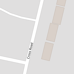
| Cross Road, Romford, RM7 | £ 925,000 | BUY | 8 / 10 | 0.17 KM |
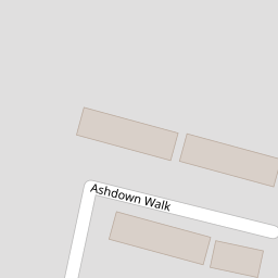
| Ashdown Walk, Romford, RM7 | £ 260,000 | BUY | 6 / 10 | 0.19 KM |
| Mawney Road, Romford, RM7 | £ 500,000 | BUY | 7 / 10 | 0.20 KM |
Nearby Properties
| Address | Price | Distance |
|---|---|---|
| 12 Elm Road | £ 320,000 | 0.00 KM |
| 29 Elm Road | £ 350,000 | 0.00 KM |
| 16 Elm Road | £ 230,000 | 0.00 KM |
| 37 Elm Road | £ 194,000 | 0.00 KM |
| 50 Elm Road | £ 335,000 | 0.00 KM |